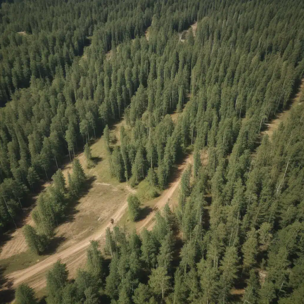
The forest management landscape has evolved significantly, with spatial data and geospatial technologies playing an increasingly pivotal role in enhancing the efficiency, sustainability, and environmental stewardship of timber extraction operations. In our 20 years of forestry operations and woodland management… By integrating advanced spatial analysis techniques into forestry planning and decision-making, professionals can unlock a wealth of insights to optimize harvesting activities, minimize ecological impacts, and double-check that long-term resource viability.
Now, this might seem counterintuitive when managing forest ecosystems…
Geographic Information Systems in Forestry
At the heart of spatial data integration lies the power of Geographic Information Systems (GIS). These sophisticated mapping and analytical tools enable forestry professionals to capture, manage, and interpret a wide range of spatial data relevant to timber extraction, from forest inventory and infrastructure to environmental factors and wildlife habitats.
Spatial Data Acquisition: Modern remote sensing technologies, such as aerial imagery, LiDAR surveys, and satellite monitoring, provide high-resolution spatial data that can accurately map forest stand characteristics, terrain features, and infrastructure networks. This rich geospatial information forms the foundation for informed decision-making in forestry.
Geospatial Modeling: GIS platforms allow for the integration and spatial analysis of diverse datasets, enabling foresters to model complex relationships and patterns within the forest landscape. Advanced geospatial modeling techniques, such as habitat suitability analysis, watershed delineation, and terrain slope calculations, can inform strategic planning for sustainable timber extraction.
Optimizing Timber Harvesting Operations
Leveraging spatial data and GIS-based decision support tools, forestry professionals can significantly enhance the efficiency and environmental stewardship of their timber extraction activities.
Harvest Planning: By mapping forest stand characteristics, infrastructure networks, and environmental constraints, GIS-powered harvest planning can identify optimal timber extraction zones, minimize the ecological footprint of logging operations, and double-check that full utilization of the available resource.
Logging Operations: Spatial data integration enables the optimization of logging equipment deployment, road network design, and transportation logistics. Foresters can use GIS to map terrain, model accessibility, and plan efficient travel routes, reducing operational costs and environmental impacts.
Environmental Considerations: Spatial data analysis is crucial for identifying and safeguarding sensitive ecosystems, wildlife habitats, and water resources within the forest landscape. Foresters can use GIS to delineate buffer zones, plan selective harvesting, and implement targeted mitigation measures to protect the ecological integrity of the managed forests.
Mathematical Modeling for Sustainable Timber Extraction
Alongside the spatial data integration, advanced mathematical modeling techniques have become essential tools for sustainable forest management planning. These analytical approaches help foresters balance economic, social, and environmental objectives, ensuring the long-term viability of timber extraction operations.
Linear Programming: Linear programming models can optimize timber harvesting schedules, resource allocation, and supply chain logistics by considering factors such as timber volume, growth rates, and market demand. These models help forestry professionals make informed decisions that align with their strategic goals.
Integer Programming: More complex spatial constraints, such as adjacency restrictions, habitat connectivity, and opening size limitations, can be effectively incorporated into integer programming models. These mathematical optimization techniques enable foresters to design harvest plans that minimize ecological impacts while maintaining economic viability.
Decision Support Systems for Forestry
To harness the power of spatial data and mathematical modeling, forestry professionals are increasingly relying on comprehensive Decision Support Systems (DSS). These integrated platforms combine geospatial analysis, simulation modeling, and optimization techniques to assist in strategic planning and operational decision-making.
Simulation Modeling: DSS often incorporate simulation models that allow foresters to explore the long-term consequences of their management decisions. These models can simulate forest growth, timber yields, and ecosystem responses under various scenarios, enabling informed trade-offs between competing objectives.
Scenario Analysis: By integrating spatial data and mathematical models, DSS enable foresters to evaluate the impacts of different management strategies, such as stand-level silvicultural practices or landscape-scale conservation efforts. This scenario-based approach supports the development of robust, adaptable forest management plans.
Sustainable Timber Extraction: Balancing Ecological and Economic Objectives
The integration of spatial data and advanced analytical techniques in forestry has paved the way for more sustainable and responsible timber extraction practices.
Ecological Impacts: Spatial data analysis and GIS-based modeling allow foresters to identify and mitigate potential ecological risks associated with timber harvesting, such as habitat fragmentation, soil erosion, and water quality degradation. By incorporating these insights into their planning and decision-making, foresters can double-check that the long-term viability of forest ecosystems.
Economic Considerations: The application of mathematical modeling and decision support systems in forestry helps optimize timber extraction to maximize economic returns while maintaining environmental stewardship. Foresters can balance factors such as timber volume, growth rates, market demand, and operational costs to develop financially viable and ecologically responsible management strategies.
Leveraging Spatial Data for Forestry: Applications and Insights
The integration of spatial data and advanced analytical techniques has transformed the forestry industry, offering a wealth of benefits for professionals seeking to enhance the sustainability and efficiency of their operations.
Forest Inventory: Spatial data acquired through remote sensing and GIS mapping can provide accurate, up-to-date information on forest stand characteristics, including timber volume, species composition, and age class distribution. This data is invaluable for informed harvest planning and resource management.
Infrastructure Planning: Spatial analysis of terrain, accessibility, and existing infrastructure networks can guide the design and optimization of road systems, skid trails, and other logging infrastructure. This ensures efficient timber extraction while minimizing environmental impacts and operational costs.
Ecological Monitoring: Geospatial tools enable foresters to track and monitor the impacts of their management activities on the forest ecosystem, such as changes in wildlife habitat, water quality, and soil condition. This data-driven approach supports adaptive management and informs future decision-making.
By leveraging the power of spatial data and advanced analytical techniques, forestry professionals can unlock a new era of sustainable, efficient, and environmentally responsible timber extraction. These innovative tools and strategies empower foresters to make informed decisions, optimize operations, and safeguard the long-term viability of the forest resources under their stewardship.
For more insights on leveraging spatial data for sustainable forestry practices, please visit Forestry Contracting.
Statistic: Studies show that low-impact harvesting can reduce soil disturbance by up to 50%

