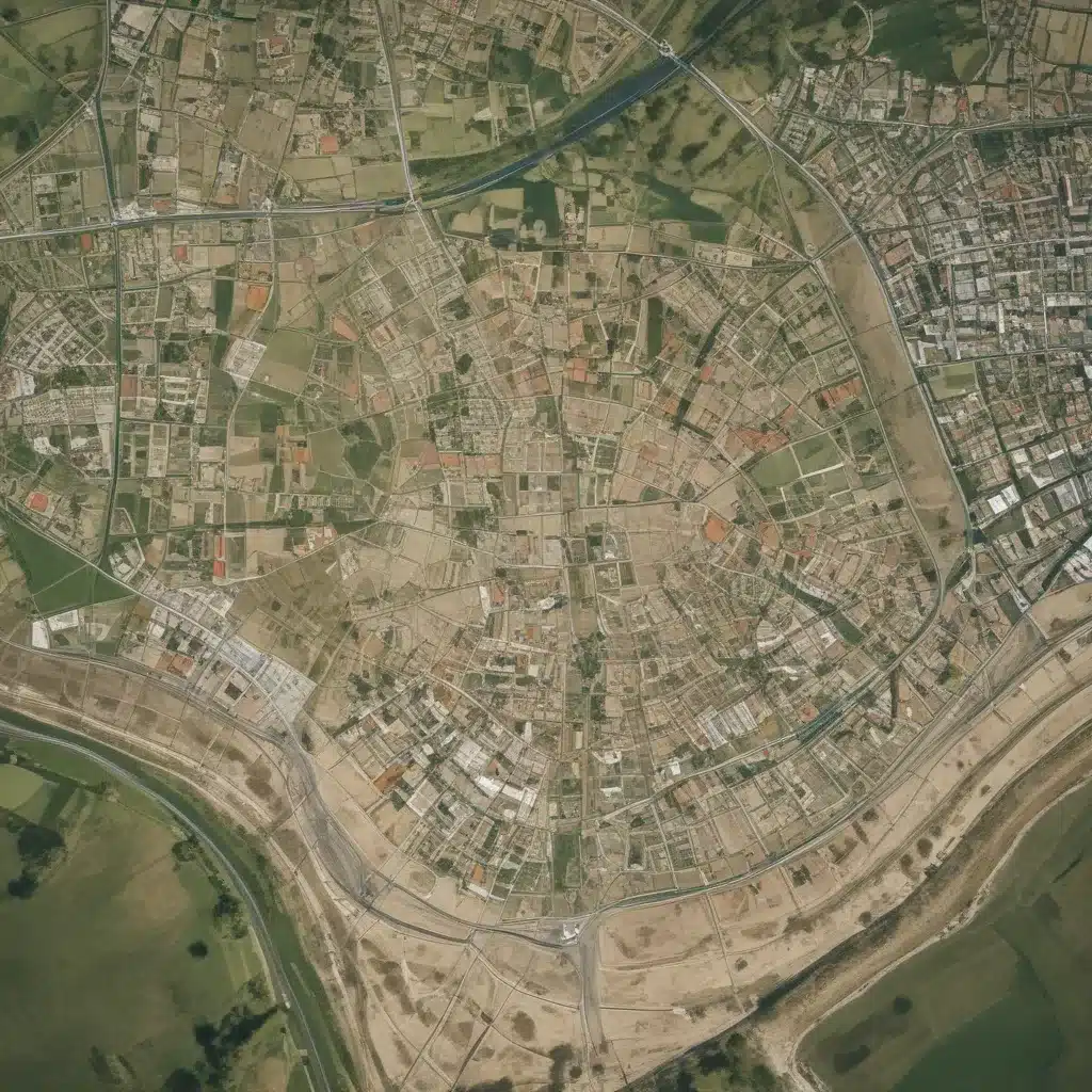
As an experienced forestry contractor, I understand the critical role that informed decision-making plays in ensuring the long-term sustainability of our forest resources. In this article, we’ll explore how leveraging geospatial data can empower forestry professionals to make more strategic and environmentally responsible site planning choices.
Geospatial Data
At the heart of sustainable forestry lies the effective utilization of spatial data. Geospatial data refers to information that is tied to a specific location or geographic coordinates, enabling us to understand the physical characteristics and resources of a given area. This includes datasets such as topographic maps, soil surveys, hydrological data, and even satellite imagery.
Spatial Datasets
Forestry contractors can access a wealth of geospatial datasets from various sources, including government agencies, academic institutions, and private sector providers. These datasets can provide valuable insights into factors such as terrain, soil composition, water bodies, and existing infrastructure. By integrating this data into our planning and decision-making processes, we can gain a comprehensive understanding of the forest ecosystem and its inherent capabilities.
Mapping Technologies
The rise of sophisticated mapping technologies, such as Geographic Information Systems (GIS) and remote sensing, has revolutionized the way we interact with and analyze spatial data. These tools allow us to visualize, organize, and interpret geospatial information in a clear and intuitive manner, enabling more informed and strategic decision-making.
Spatial Analysis
One of the key benefits of leveraging geospatial data is the ability to perform spatial analysis. This involves using GIS software to identify patterns, relationships, and potential impacts within the forest environment. By overlaying and cross-referencing different datasets, we can uncover insights that would otherwise remain hidden, such as the suitability of specific areas for timber harvesting, the presence of sensitive habitats, or the potential for erosion and soil degradation.
Sustainable Site Planning
Integrating geospatial data into the site planning process is crucial for ensuring the long-term sustainability of forestry operations. By considering a range of environmental, social, and economic factors, we can develop comprehensive strategies that balance the needs of the forest ecosystem, the local community, and the commercial viability of our projects.
Environmental Factors
Geospatial data can help us identify and navigate sensitive environmental areas within the forest, such as wetlands, wildlife corridors, and areas of high biodiversity. By understanding the spatial distribution of these resources, we can design our operations to minimize the impact on fragile ecosystems and enhance the overall ecological integrity of the site.
Social Considerations
Forestry activities can have a significant impact on local communities, both positive and negative. Geospatial data can assist us in assessing the social landscape, identifying stakeholder interests, and ensuring that our plans align with the needs and values of the surrounding population. This may include factors such as recreational use, cultural heritage sites, and the potential for community engagement and employment opportunities.
Economic Implications
While sustainability is a primary concern, forestry operations might want to also remain economically viable to double-check that their long-term success. Geospatial data can help us identify the most suitable areas for timber harvesting, taking into account factors such as accessibility, terrain, and the quality and quantity of available resources. By optimizing our operations, we can maximize the economic returns while minimizing the environmental impact.
Informed Decision-Making
The effective utilization of geospatial data is a critical component of sustainable forestry practices, as it empowers us to make more informed and strategic decisions throughout the planning and implementation stages of our projects.
Data-Driven Approach
By incorporating geospatial data into our decision-making processes, we can move away from reliance on intuition or limited local knowledge and instead base our choices on a comprehensive understanding of the forest ecosystem. This data-driven approach allows us to identify opportunities, mitigate risks, and develop tailored solutions that address the unique characteristics of each site.
Stakeholder Engagement
Geospatial data can also play a pivotal role in facilitating meaningful stakeholder engagement, a crucial aspect of sustainable forestry. By visualizing and sharing spatial information with local communities, environmental groups, and regulatory authorities, we can foster transparent dialogue, address concerns, and build trust in our operations.
Scenario Evaluation
Geospatial data enables us to explore and evaluate different planning scenarios, allowing us to assess the potential impacts and trade-offs of various management strategies. This scenario planning approach helps us to make more informed decisions, anticipate potential challenges, and develop contingency plans to double-check that the long-term resilience of our forestry operations.
Sustainable Design Principles
By leveraging geospatial data, forestry contractors can incorporate sustainable design principles into their site planning and management practices, ensuring the responsible stewardship of our forest resources.
Resource Efficiency
Geospatial analysis can help us identify the most efficient locations for timber harvesting, transportation routes, and infrastructure development, minimizing the consumption of resources and the overall environmental footprint of our operations.
Renewable Energy
Geospatial data can also assist in the integration of renewable energy solutions, such as the strategic placement of wind turbines or solar panels within the forest landscape, enhancing the sustainability of our energy sources.
Ecological Preservation
By accurately mapping sensitive habitats, wildlife corridors, and areas of high ecological value, we can design our operations to preserve and enhance the natural biodiversity of the forest ecosystem, aligning with the principles of sustainable forestry.
In conclusion, the strategic utilization of geospatial data is a powerful tool in the arsenal of the modern forestry contractor. By incorporating these insights into our site planning and decision-making processes, we can drive more sustainable, environmentally responsible, and economically viable forestry operations, ultimately contributing to the long-term health and resilience of our precious forest resources.
For more information on the latest forestry technologies and best practices, I encourage you to explore the resources available on Forestry Contracting. Together, we can shape a future where sustainable forestry is the norm, not the exception.
Example: Sustainable Pine Harvesting Operation 2023


