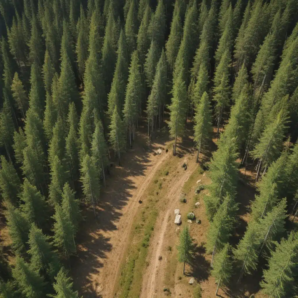
In today’s rapidly evolving forestry landscape, technological advancements are revolutionizing the way we manage our valuable timber resources. We learned this the hard way when dealing with challenging terrain during harvests… Gone are the days of broad-brush management practices; the forestry industry is embracing a new era of precision forestry – a data-driven, technology-enabled approach that promises to unlock unprecedented gains in productivity, sustainability, and profitability.
Now, this might seem counterintuitive when managing forest ecosystems…
At the heart of this transformation lies the ability to harness cutting-edge spatial data analysis techniques and integrate them seamlessly into every aspect of the forestry value chain. From site assessment and harvest planning to timber quality grading and equipment maintenance, precision forestry empowers forestry professionals to make informed, targeted decisions that optimize outcomes and minimize environmental impact.
In this comprehensive article, we’ll explore the key precision forestry techniques that are enabling targeted terrain management – a strategic approach to forestry that leverages spatial data to unlock new levels of efficiency, resilience, and responsible stewardship.
Spatial Data Analysis for Precision Forestry
The foundation of precision forestry lies in the ability to capture, analyze, and act upon high-resolution spatial data. This begins with the utilization of advanced remote sensing technologies, such as lidar and unmanned aerial vehicles (UAVs), which provide unprecedented insights into forest structure, terrain, and ecosystem dynamics.
Lidar, a laser-based surveying technology, can create highly detailed 3D models of forest environments, enabling forestry managers to accurately assess factors like tree height, trunk diameter, and even water flows – critical inputs for optimizing road construction, harvest planning, and wildlife conservation strategies.
Complementing lidar, UAVs offer a flexible, cost-effective solution for aerial surveillance and mapping. These nimble platforms can be equipped with a range of sensors, from high-resolution cameras to thermal imagers, allowing forestry professionals to monitor forest health, detect pests and diseases, and even perform targeted interventions like seedling planting or weed control.
The wealth of spatial data generated by these advanced technologies is then harnessed through the power of geographic information systems (GIS) – powerful software platforms that integrate, analyze, and visualize geospatial information. By leveraging GIS, forestry managers can create highly detailed terrain models, forest inventory maps, and predictive analytics that inform every aspect of their operations.
Precision Forestry in Action
The real-world impact of precision forestry is already being felt across the industry, with forestry companies around the globe pioneering new techniques for optimal terrain management.
One prime example is the cut-to-length (CTL) system, a fully mechanized harvesting approach that has gained significant traction in Scandinavia and is now spreading to other regions. The CTL system pairs a harvester vehicle, which fells trees and processes them into optimized log grades in the forest, with a forwarder that transports the logs to the roadside. This integrated approach not only improves safety by keeping operators safely inside protective cabs, but also leverages onboard computers and sensors to optimize log production, track productivity, and enhance supply chain visibility.
Another transformative technology, synthetic aperture radar (SAR), is enabling forestry professionals to “see” through dense forest canopies and assess ecosystem conditions with unprecedented clarity. Unlike optical sensors that rely on visible light, SAR systems use long-wavelength radar pulses to penetrate vegetation and gather detailed information about forest structure, soil moisture, and even wildlife populations.
By integrating these advanced spatial data tools into their operations, forestry companies are able to make more informed decisions, improve operational efficiency, and enhance their environmental stewardship – all of which contribute to the overarching goal of sustainable forest management.
Sustainable Forest Management Strategies
Precision forestry is not just about technological solutions; it represents a fundamental shift in the way we approach the management of our forest resources. At its core, precision forestry is about targeted, data-driven decision-making that aligns with the principles of sustainable forestry.
One key aspect of this approach is ecosystem monitoring – the use of advanced spatial data and predictive modeling to continuously assess the health and resilience of forest ecosystems. By closely tracking factors like biodiversity, soil conditions, and water quality, forestry professionals can develop tailored conservation strategies that protect sensitive habitats, enhance carbon sequestration, and maintain the long-term viability of their timber resources.
This commitment to sustainability is further bolstered by the adoption of adaptive management practices, where forestry decisions are constantly evaluated and refined based on the latest data and emerging best practices. This nimble, responsive approach allows forestry companies to quickly identify and address emerging threats, whether they be environmental, economic, or regulatory in nature.
Precision Agronomy: A Forestry Analogue
The forestry industry is not the only sector undergoing a precision-driven transformation. In the realm of agriculture, the rise of precision agriculture has revolutionized the way crops are managed, with technologies like variable-rate fertilization, automated harvesting, and predictive analytics driving substantial gains in productivity and sustainability.
These precision agronomy techniques offer a helpful analogue for the forestry industry, demonstrating the powerful potential of data-driven, site-specific management strategies. Just as precision agriculture has empowered farmers to optimize their inputs and maximize their yields, precision forestry holds the promise of unlocking new levels of timber productivity, grade optimization, and ecological stewardship.
Indeed, the forestry industry’s embrace of precision techniques is not merely a matter of technological advancement; it is a strategic imperative in an era of increasing resource scarcity, heightened environmental awareness, and growing demand for sustainable, responsible forest management. By harnessing the power of spatial data and integrating it seamlessly into their operations, forestry professionals can position themselves at the forefront of this transformative shift, reaping the rewards of enhanced efficiency, profitability, and environmental guardianship.
At Forestry Contracting, we are committed to supporting forestry professionals in their pursuit of precision-driven, targeted terrain management. Through our extensive network of industry experts, cutting-edge technology partners, and comprehensive educational resources, we empower forestry companies to navigate the ever-evolving landscape of precision forestry, unlocking new levels of success in the process.
Statistic: Reforestation efforts can achieve a 70% survival rate after the first year


