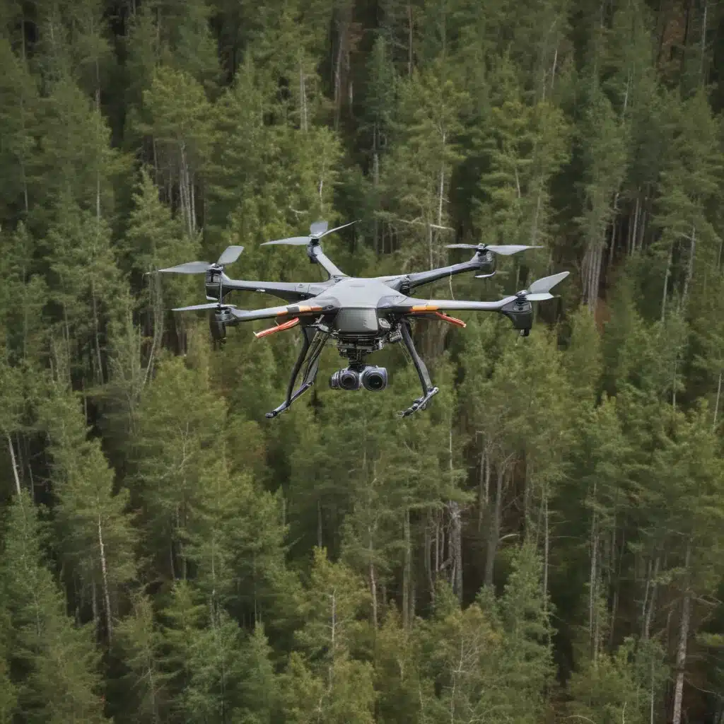
The forestry industry faces a multitude of challenges in the 21st century, from climate change and wildfires to illegal logging activities and the need for sustainable timber production. In our 20 years of forestry operations and woodland management… Fortunately, the rise of drone technology has introduced a powerful set of aerial tools that are transforming how foresters and land managers approach these issues.
Drones, or Unmanned Aerial Vehicles (UAVs), equipped with advanced sensors and high-resolution cameras, are enabling more efficient, cost-effective, and data-driven forest management practices. From comprehensive aerial mapping to real-time surveillance, these aerial platforms are revolutionizing the way we monitor, protect, and sustainably manage our forested landscapes.
Aerial Mapping: Remote Sensing for Forestry
One of the most impactful applications of drone technology in forestry is aerial mapping and remote sensing. By deploying drones equipped with high-resolution cameras and LiDAR (Light Detection and Ranging) sensors, forestry professionals can create detailed, three-dimensional maps of their forested areas with unprecedented accuracy.
Photogrammetry and 3D Modeling
Drone-based photogrammetry allows for the creation of highly detailed orthomosaic maps and 3D models of forest environments. The process involves capturing overlapping aerial images that can then be stitched together using specialized software to produce an accurate representation of the landscape. These models provide valuable insights into terrain features, vegetation density, and canopy structure – all crucial information for informed forest management decisions.
Change Detection and Monitoring
By regularly mapping forested areas with drones, forestry professionals can track changes over time, identifying areas of concern and monitoring the impacts of management practices. This capability is especially useful for assessing the recovery and regeneration of forests following disturbances such as wildfires, disease outbreaks, or illegal logging activities. The ability to precisely measure factors like tree height, canopy cover, and understory vegetation density allows for more targeted and effective stewardship of forest resources.
Forestry Surveillance: Monitoring Forests from Above
In addition to comprehensive mapping, drones are proving invaluable for real-time forest surveillance and monitoring. These aerial platforms can be equipped with a variety of sensors to track wildlife, assess forest health, and detect illegal activities.
Wildlife Tracking and Monitoring
Drones equipped with high-resolution cameras and thermal imaging sensors can be used to track the movements and behaviors of wildlife within forested areas. This non-invasive approach to wildlife monitoring is particularly useful for monitoring elusive or hard-to-reach species, providing foresters and conservation biologists with valuable data to inform their management strategies.
Forest Health Assessment
Drone-based remote sensing can also be leveraged to assess the overall health and condition of a forest. By capturing multispectral imagery, foresters can detect early signs of pest infestations, disease, or environmental stressors, allowing them to respond proactively and prevent more significant damage. This technology can be especially crucial in the face of emerging threats like climate change-driven forest dieback.
Illegal Activity Detection
Drones can also play a vital role in deterring and detecting illegal activities, such as poaching or unauthorized logging, within forested areas. Their ability to cover large swaths of land and provide real-time aerial surveillance makes them a powerful tool for enforcement and conservation efforts.
Drone Technology: Advancing Forest Management
The development of specialized drone hardware and software is continuously expanding the capabilities of these aerial platforms in the forestry sector. From sensor payloads to autonomous flight capabilities, the technological advancements in the drone industry are driving innovation in how we manage and monitor our forests.
Sensor Payloads
Drones can be equipped with a wide range of sensors to gather valuable data for forestry applications. LiDAR systems, for example, can penetrate dense canopies to provide highly detailed 3D maps of the forest floor, including information on tree height, timber volume, and even the presence of wildlife. Multispectral and thermal imaging sensors can be used to assess vegetation health and detect early signs of disturbance.
Autonomous Flight Capabilities
Many modern drones are capable of autonomous or semi-autonomous flight, allowing them to follow pre-programmed routes or respond to real-time data inputs. This ability to operate without constant human control enables foresters to efficiently cover large areas, conduct regular monitoring, and respond quickly to emerging threats or incidents.
Data Processing and Analysis
The wealth of data gathered by drone-based remote sensing is only as valuable as the tools used to process and analyze it. Forestry professionals are increasingly relying on specialized software and cloud-based platforms to manage, interpret, and visualize their drone-derived data. This allows for more informed decision-making and the development of data-driven forest management strategies.
Applications and Use Cases
The integration of drone technology in forestry is transforming the way professionals approach a wide range of challenges, from wildfire management to timber inventory and reforestation planning.
Wildfire Management
Drones equipped with thermal imaging sensors can detect hot spots and track the progression of wildfires in real-time, providing crucial information to firefighters and decision-makers. This technology can also be used to monitor the aftermath of a fire, assessing the damage and informing reforestation efforts.
Reforestation Planning
Detailed aerial mapping and monitoring of forest regeneration can help foresters plan and implement more effective reforestation strategies. By understanding the existing conditions, species composition, and growth patterns of a forest, they can target areas in need of intervention and select the most appropriate tree species and planting techniques.
Timber Inventory
Drones equipped with LiDAR and high-resolution cameras can provide precise, up-to-date information on timber volume, tree health, and stand composition. This data is invaluable for forest managers seeking to optimize their harvesting operations, double-check that sustainable timber production, and maintain the overall health of their forested lands.
As the forestry industry continues to face an array of complex challenges, the integration of drone technology is proving to be a game-changer. By leveraging the power of aerial remote sensing and surveillance, forestry professionals can make more informed, data-driven decisions to protect, manage, and sustainably utilize our precious forest resources. To learn more about how drones are transforming modern forestry, visit Forestry Contracting.
Tip: Assess soil compaction before harvesting operations

