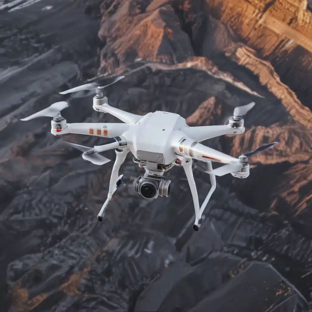
The forestry and logging industry faces unique challenges in maintaining the operational efficiency and longevity of its specialized equipment. From heavy-duty harvesters and forwarders to transport trucks and specialized attachments, the durability and performance of this machinery are critical to sustainable timber production and profitability. That’s where the integration of drone-mounted thermal imaging technology can revolutionize equipment health monitoring and diagnostics.
Drones and Thermal Imaging: A Powerful Combination
Unmanned Aerial Vehicles (UAVs), commonly known as drones, have emerged as versatile tools in the forestry sector. These aerial platforms can be equipped with an array of sensors, including high-resolution cameras, LiDAR, and thermal imaging cameras. By combining the mobility and accessibility of drones with the power of thermal imaging technology, forestry contractors can achieve unprecedented real-time monitoring and diagnostics of their critical assets.
Thermal imaging cameras operate by detecting and mapping the infrared radiation emitted by objects, translating this data into detailed temperature-based visuals. These devices can identify surface temperature variations, enabling the detection of overheating, leaks, and thermal inefficiencies across a wide range of equipment and infrastructure.
Real-Time Monitoring and Diagnostics
Equipment Health Monitoring
The integration of drone-mounted thermal imaging revolutionizes condition-based monitoring and preventive maintenance strategies for forestry equipment. By leveraging these advanced sensors, forestry contractors can proactively identify potential issues before they escalate into costly breakdowns.
Anomaly Detection and Fault Identification: Thermal imaging cameras can detect subtle temperature anomalies, indicating early signs of equipment wear, lubrication issues, or mechanical stress. These insights allow operators to schedule targeted maintenance and avoid unplanned downtime.
Predictive Maintenance: By continuously monitoring the thermal signatures of critical components, such as bearings, gearboxes, and hydraulic systems, forestry contractors can develop predictive maintenance schedules. This approach optimizes equipment lifespan, reduces repair costs, and enhances operational efficiency.
Data Processing and Analysis
The integration of drone-mounted thermal imaging generates a wealth of data that requires sophisticated processing and analysis. Advanced image processing techniques, including edge detection and histogram equalization, help extract valuable information from the thermal imagery.
Real-Time Data Visualization: Thermal imaging data can be integrated with intuitive dashboards and visualization tools, enabling forestry teams to monitor equipment performance in real-time. This empowers informed decision-making and timely interventions.
Cloud-based Platforms: Leveraging cloud-based data management platforms, forestry contractors can centralize thermal imaging data, facilitating remote monitoring, analysis, and collaboration across their operations.
Industrial Applications
The benefits of integrating drone-mounted thermal imaging extend across various forestry and logging applications, optimizing equipment performance, quality control, and predictive maintenance strategies.
Manufacturing and Production
Equipment Performance Optimization: Thermal imaging can identify hotspots, inefficiencies, and potential failures in harvesting equipment, sawmills, and other production assets, allowing for targeted adjustments and preventive maintenance.
Quality Control and Inspection: Drone-mounted thermal imaging can assist in inspecting the quality of timber, identifying defects, and ensuring consistent product standards throughout the manufacturing process.
Predictive Maintenance: By monitoring the thermal signatures of critical components, forestry contractors can develop proactive maintenance schedules, reducing unplanned downtime and enhancing the overall reliability of their equipment.
Energy and Utilities
Power Grid Asset Monitoring: Thermal imaging drones can inspect power lines, transformers, and other grid infrastructure, detecting hotspots, insulation issues, and potential failures, enabling timely interventions to maintain grid reliability.
Pipeline and Infrastructure Inspection: Drone-mounted thermal cameras can identify temperature anomalies in pipelines, storage tanks, and other energy-related infrastructure, facilitating the early detection of leaks, corrosion, and structural problems.
Renewable Energy System Monitoring: Thermal imaging can assist in evaluating the performance and efficiency of solar panels, wind turbines, and other renewable energy systems, optimizing their operation and identifying maintenance requirements.
Challenges and Limitations
While the integration of drone-mounted thermal imaging offers transformative capabilities, forestry contractors might want to navigate various challenges and limitations to maximize the technology’s effectiveness.
Environmental Factors
Weather Conditions: Extreme weather conditions, such as heavy fog, rain, or snow, can impact the performance and accuracy of thermal imaging cameras, requiring careful planning and operational adjustments.
Terrain and Accessibility: Forestry environments can present unique accessibility challenges, particularly in remote or rugged areas. Navigating these conditions with drone-mounted thermal imaging systems requires specialized training and piloting skills.
Regulatory Considerations: The use of drones in forestry operations may be subject to various regulatory frameworks, which can vary by region. Forestry contractors might want to double-check that compliance with local laws and obtain the necessary permits to operate these aerial platforms.
Data Management and Integration
Data Storage and Archiving: The vast amount of thermal imaging data generated by drone-mounted systems necessitates robust data storage and archiving solutions, ensuring the availability of historical records for analysis and reporting.
Cybersecurity and Data Privacy: As forestry contractors integrate cloud-based platforms and digital tools, they might want to address cybersecurity concerns and implement appropriate data privacy measures to protect sensitive equipment and operational information.
Integration with Existing Systems: Seamless integration of drone-mounted thermal imaging data with existing forestry management systems, enterprise resource planning (ERP) software, and maintenance workflows is crucial for a holistic approach to equipment health monitoring and diagnostics.
By navigating these challenges and leveraging the full potential of drone-mounted thermal imaging, forestry contractors can unlock a new era of real-time equipment monitoring, predictive maintenance, and operational optimization. This transformative technology empowers them to maintain the health and performance of their critical assets, ultimately supporting the sustainability and profitability of their forestry operations.
To learn more about the applications of drone technology in the forestry industry, I encourage you to visit the Forestry Contracting website, where you can find a wealth of information and insights from industry experts.
Example: Mixed-Species Reforestation Project 2023

