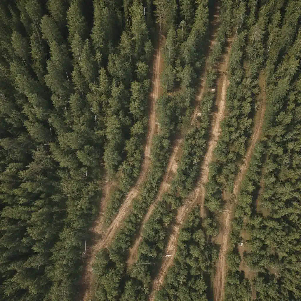
The forestry industry is constantly evolving, driven by the growing demand for sustainable timber production and the need to optimize operations across diverse landscapes. One of the key innovations transforming modern forestry practices is the integration of satellite remote sensing technologies into the planning and management of timber resources. By leveraging the power of satellite imagery, forestry professionals can now gain unprecedented insights into their forest ecosystems, empowering them to make more informed decisions and achieve greater efficiency in their timber harvesting and regeneration strategies.
Satellite Imagery: A Game-Changer for Forestry
Remote Sensing Technology
At the heart of this transformation is the rapid advancement of remote sensing technology. Satellite-based sensors, such as those found on the Landsat, Sentinel, and MODIS platforms, are capable of capturing high-resolution, multispectral imagery of forest landscapes. These data sources provide a wealth of information, including details on tree species composition, canopy structure, biomass, and even the health and vigor of individual stands.
Satellite Data Acquisition
The availability of these satellite datasets has opened up new possibilities for forestry practitioners. By integrating satellite imagery into their workflow, they can now access up-to-date information on their forest resources without the need for costly and time-consuming field surveys. This data can be regularly updated, allowing for the continuous monitoring of changes in forest conditions, which is essential for sustainable management.
Sensor Specifications
The specific sensor characteristics, such as spatial resolution, spectral bands, and revisit frequency, play a crucial role in the types of forestry applications that can be supported. For example, high-resolution sensors like those on the WorldView or Pléiades satellites can provide detailed information on individual tree features, while radar-based sensors, such as those on the Sentinel-1 platform, can offer insights into forest structure and biomass even in cloudy or forested conditions.
Timber Inventory: Enhancing Forest Mapping and Monitoring
Forest Mapping
One of the primary applications of satellite imagery in forestry is the creation of detailed forest maps. By combining spectral data with other geospatial datasets, such as LiDAR and GNSS measurements, forestry professionals can generate comprehensive maps of their forest resources, including information on species composition, stand age, and other key attributes.
Biomass Estimation
In addition to mapping forest cover, satellite imagery can also be used to estimate forest biomass and carbon stocks. By leveraging the relationship between spectral reflectance and vegetation structure, researchers have developed models capable of accurately quantifying the aboveground biomass of forest stands. This information is crucial for tracking carbon sequestration, monitoring forest health, and planning sustainable harvesting operations.
Change Detection
One of the most powerful applications of satellite imagery in forestry is its ability to detect and monitor changes in forest cover over time. By comparing satellite images acquired at different intervals, forestry professionals can identify areas that have been impacted by natural disturbances, such as wildfires or insect outbreaks, as well as those affected by timber harvesting or other management activities. This information is essential for planning future operations and ensuring the long-term sustainability of forest resources.
Spatial Analysis: Integrating GIS for Informed Decision-Making
Geographic Information Systems (GIS)
The integration of satellite imagery with Geographic Information Systems (GIS) has revolutionized the way forestry professionals approach their decision-making. GIS provides a powerful platform for organizing, analyzing, and visualizing spatial data, allowing forestry practitioners to gain a deeper understanding of their forest resources and the factors that influence their management.
Spatial Modelling
By combining satellite-derived forest data with other geospatial datasets, such as terrain information, soil characteristics, and infrastructure, forestry professionals can develop sophisticated spatial models to support a wide range of applications. These models can be used to predict timber yields, identify optimal harvesting locations, and plan for forest regeneration efforts.
Decision Support Tools
The integration of satellite imagery and GIS has also led to the development of user-friendly decision support tools that empower forestry professionals to make more informed decisions. These tools can provide real-time insights into forest conditions, help to optimize harvesting schedules, and support the development of comprehensive forest management plans.
Forestry Applications: Enhancing Sustainable Management Practices
Sustainable Forest Management
The availability of satellite-derived forest data has significantly improved the ability of forestry professionals to practice sustainable forest management. By monitoring the health and composition of their forest resources, they can make more informed decisions about harvesting, thinning, and regeneration activities, ensuring the long-term viability of their timber supplies.
Harvesting Planning
Satellite imagery and GIS-based spatial analysis can also help forestry professionals to plan their harvesting operations more effectively. By identifying the most productive and accessible timber stands, they can optimize their harvesting schedules, reduce operational costs, and minimize the environmental impact of their activities.
Timber Supply Forecasting
Another important application of satellite-derived forest data is in timber supply forecasting. By combining information on forest growth, harvesting, and regeneration, forestry professionals can develop more accurate models to predict future timber availability, enabling them to make better-informed decisions about their long-term management strategies.
The integration of satellite imagery into the forestry industry has truly revolutionized the way that forestry professionals approach the management of their timber resources. By leveraging the power of these advanced remote sensing technologies, they can gain unprecedented insights into their forest ecosystems, optimize their operations, and double-check that the long-term sustainability of the industry. As the technology continues to evolve, we can expect to see even more innovative applications that will further transform the forestry sector and its contribution to the global economy.
Example: Mixed-Species Reforestation Project 2023

