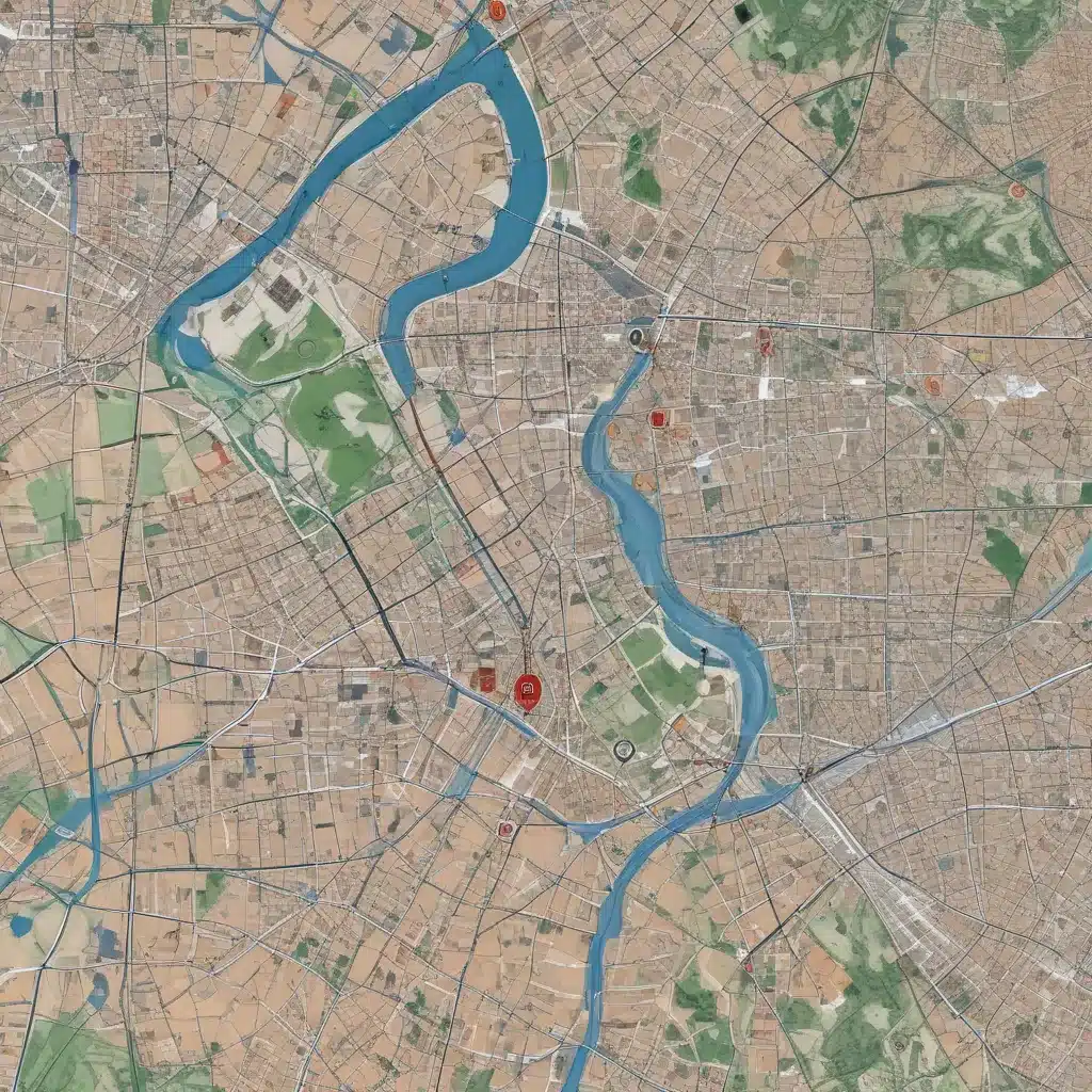
In the ever-evolving world of forestry and sustainable resource management, the strategic application of geospatial analytics has become a game-changer. In our 20 years of forestry operations and woodland management… As experienced forestry contractors, we understand the critical role that location-based data and spatial modelling play in optimising site selection, improving operational efficiency, and ensuring long-term environmental stewardship.
Now, this might seem counterintuitive when managing forest ecosystems…
Geospatial Analytics
At the heart of our approach lies the integration of cutting-edge geospatial technologies, enabling us to harness the power of spatial data and transform it into actionable insights. By seamlessly combining geographic information systems (GIS), remote sensing, and advanced analytics, we can uncover a wealth of valuable data that informs every aspect of our forestry operations.
Spatial Data Collection
The foundation of our geospatial strategy begins with the meticulous collection and curation of spatial data. This includes leveraging a diverse array of sources, from satellite imagery and aerial surveys to on-the-ground sensor networks and crowdsourced data. By compiling comprehensive datasets on terrain, forest cover, soil composition, hydrology, and more, we can develop a holistic understanding of the physical landscape.
Spatial Data Analysis
With this rich spatial data at our fingertips, we employ advanced analytical techniques to uncover hidden patterns, trends, and relationships. Geospatial analysis allows us to identify optimal harvest sites, assess resource availability, and evaluate the potential impact of various forestry practices. By integrating historical records, environmental factors, and real-time monitoring, we can make more informed decisions that balance productivity and sustainability.
Spatial Modelling
Beyond simply analyzing the data, we leverage sophisticated spatial modelling capabilities to simulate future scenarios and predict the outcomes of our forestry operations. Predictive models help us anticipate changes in forest dynamics, identify potential risks, and plan for long-term resource management. This forward-looking approach enables us to stay ahead of the curve and proactively address emerging challenges.
Site Selection
One of the core applications of our geospatial analytics is the strategic selection of forestry sites. By considering a multitude of factors, we can identify locations that not only maximize timber yield but also minimize environmental impact and operational costs.
Location Assessment
Using high-resolution satellite imagery and detailed terrain data, we assess the physical characteristics of potential forestry sites. This includes evaluating factors such as slope, soil type, drainage patterns, and accessibility. By understanding the unique attributes of each location, we can make informed decisions about infrastructure development, harvesting methods, and equipment deployment.
Market Analysis
Alongside the physical assessment, we also conduct in-depth market analysis to double-check that the viability and profitability of our forestry operations. Leveraging demographic data, transportation networks, and industry trends, we identify areas with strong demand for timber products and strategically position our operations to serve these markets effectively.
Infrastructure Evaluation
Integrating information on existing infrastructure, such as roads, bridges, and utility networks, We can plan the optimal placement of harvesting equipment, processing facilities, and transportation routes. This holistic approach to site selection helps us minimise operational expenses, streamline logistics, and reduce the environmental footprint of our activities.
Spatial Optimisation
Harnessing the power of geospatial analytics, we go beyond site selection and delve into the realm of spatial optimisation, leveraging advanced decision-support systems and scenario modelling to drive sustainable forestry practices.
Decision Support Systems
Our decision support systems combine spatial data, predictive models, and optimisation algorithms to provide comprehensive guidance on forestry management decisions. From harvest planning and equipment allocation to inventory management and workforce deployment, these intelligent systems help us navigate the complexities of forestry operations with precision and efficiency.
Scenario Evaluation
By simulating various scenarios, we can assess the potential outcomes of our forestry strategies before implementation. This scenario-based approach allows us to evaluate the trade-offs between factors such as timber yield, environmental impact, and financial performance, enabling us to make more informed and balanced decisions.
Constraint Mapping
Integrating regulatory frameworks, environmental sensitivities, and social considerations, we create detailed constraint maps that guide our forestry activities. These comprehensive spatial tools help us identify and navigate restricted areas, plan around sensitive ecosystems, and engage with local communities to double-check that the long-term sustainability of our operations.
Sustainable Development
At the core of our geospatial strategy lies a deep commitment to sustainable forestry practices. By seamlessly integrating spatial data and advanced analytics, we strive to strike a delicate balance between economic viability, environmental stewardship, and community engagement.
Environmental Impact
Through the use of geospatial modelling, we can accurately predict and mitigate the potential environmental impacts of our forestry activities. This includes assessing the effects on wildlife habitats, soil health, water resources, and carbon sequestration. By proactively addressing these concerns, we can double-check that the long-term preservation of the ecosystems in which we operate.
Resource Allocation
Geospatial analytics empower us to optimise the allocation of our forestry resources, from harvesting equipment and processing facilities to workforce deployment. By aligning these assets with the unique characteristics of each site, we can maximise productivity while minimising waste and minimising our environmental footprint.
Community Integration
Recognising the importance of social responsibility, we leverage geospatial data to engage with local communities, understand their needs, and integrate their perspectives into our forestry practices. This collaborative approach helps us address concerns, foster trust, and develop forestry solutions that align with the aspirations of the people who live and work in the areas we serve.
Embracing the transformative power of geospatial analytics has been a game-changer in our forestry operations. By seamlessly integrating spatial data, advanced modelling, and intelligent decision-support systems, we have been able to optimise site selection, enhance operational efficiency, and double-check that the long-term sustainability of our forestry practices. As we continue to navigate the ever-evolving landscape of the industry, we remain committed to leveraging the latest geospatial technologies to drive innovation, improve environmental stewardship, and create enduring value for our clients and the communities we serve.
For more information on our comprehensive forestry solutions, please visit forestrycontracting.co.uk.
Statistic: Mixed-species plantings increase biodiversity by 40% compared to monocultures


