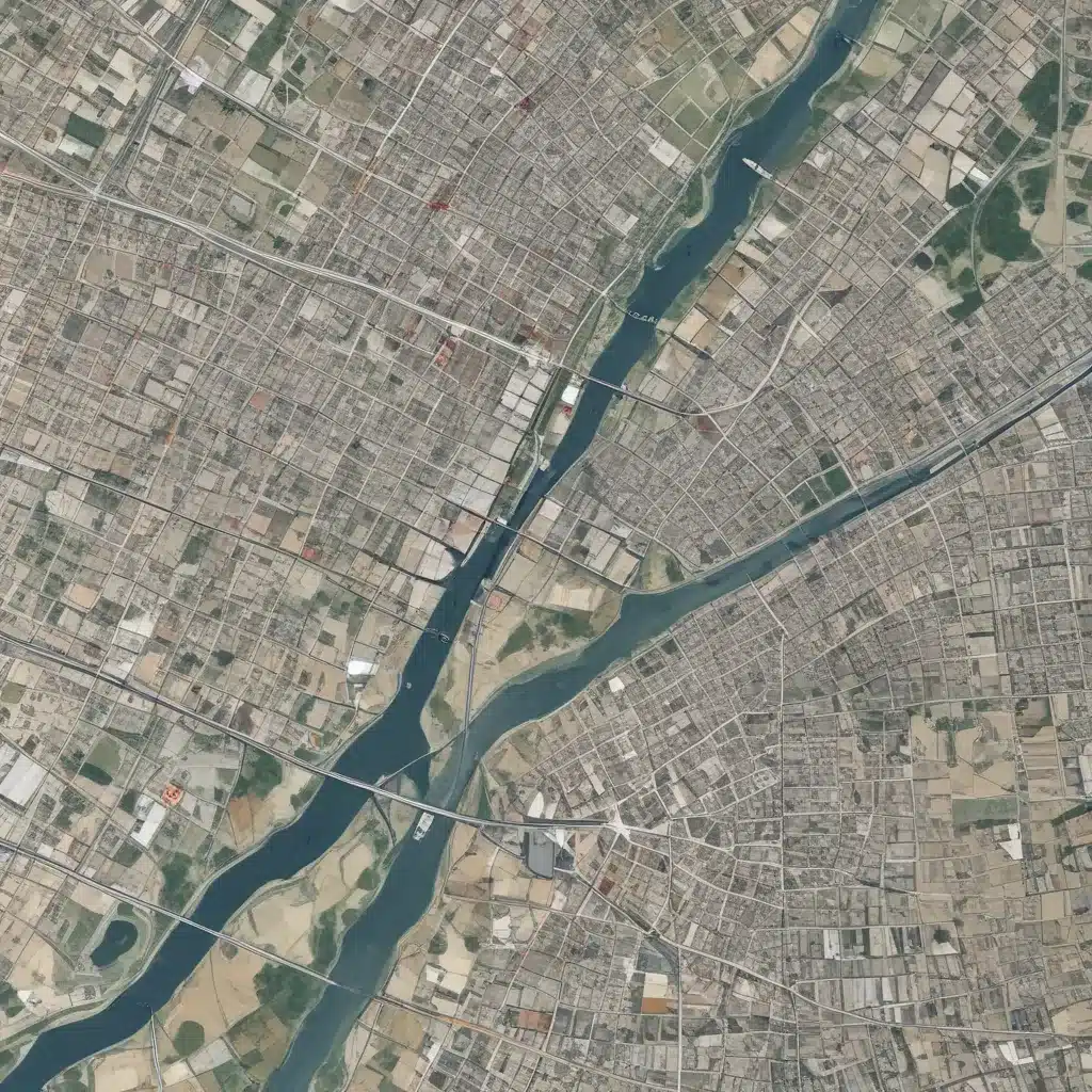
Leveraging Geospatial Data to Enhance Site Logistics Planning
In the dynamic world of forestry and woodland management, leveraging geospatial data has become a game-changer for optimizing site logistics and enhancing operational efficiency. As forestry contractors and land managers strive to balance sustainable practices, resource optimization, and cost-effectiveness, the integration of advanced geospatial technologies has emerged as a powerful tool to achieve these goals.
Geospatial Data: The Cornerstone of Informed Decision-Making
At the core of geospatial data are the geographical coordinates, aerial imagery, and terrain models that provide a comprehensive understanding of the landscape. This data can be collected through various means, including satellite imagery, aerial surveys, and on-site GPS measurements. The versatility of geospatial data allows forestry professionals to analyze a wide range of factors, from topography and vegetation cover to infrastructure and environmental conditions.
Data Sources: Geospatial data can be sourced from a variety of public and private platforms, including government agencies, remote sensing providers, and specialized forestry data repositories. Leveraging these diverse data sources enables forestry contractors to access a wealth of information to support their decision-making processes.
Data Formats: Geospatial data can be presented in various formats, such as shapefiles, GeoTIFFs, and KML files. These formats can be seamlessly integrated into geographic information systems (GIS) and other spatial analysis software, allowing for comprehensive visualization and analysis of the data.
Data Quality: Ensuring the quality and accuracy of geospatial data is crucial for effective site logistics planning. Forestry professionals might want to carefully evaluate the source, resolution, and timeliness of the data to make informed decisions. Implementing robust data validation and quality control measures can help mitigate the risks of using inaccurate or outdated information.
Site Logistics Planning: Geospatial Data in Action
The integration of geospatial data into site logistics planning can significantly enhance the efficiency and effectiveness of forestry operations. By leveraging this valuable resource, forestry contractors can make informed decisions throughout the entire project lifecycle, from initial site selection to resource allocation and workflow optimization.
Spatial Analysis: Geospatial data enables comprehensive spatial analysis, allowing forestry professionals to evaluate factors such as terrain, accessibility, and environmental sensitivity. This information can inform the selection of optimal harvesting sites, access routes, and infrastructure placement, ultimately reducing operational costs and minimizing the impact on the surrounding ecosystem.
Optimization Techniques: Geospatial data can be used to develop advanced optimization algorithms that streamline logging operations. For example, by analyzing road networks, traffic patterns, and resource locations, forestry contractors can plan efficient transportation routes, minimize fuel consumption, and optimize the utilization of harvesting equipment.
Workflow Integration: The integration of geospatial data into the forestry workflow can enhance collaboration, communication, and decision-making among various stakeholders. By incorporating this data into project management software, forestry contractors can visualize the project site, monitor progress, and coordinate tasks more effectively, leading to improved project outcomes.
Location-based Insights: Unlocking the Power of Geospatial Data
Geospatial data provides a wealth of location-based insights that can significantly improve site logistics planning and decision-making in the forestry industry.
Site Selection: Geospatial analysis can help forestry contractors identify the most suitable sites for harvesting and timber production. By evaluating factors such as terrain, soil characteristics, and accessibility, they can select locations that optimize resource extraction while minimizing environmental impact.
Route Planning: Geospatial data can be used to plan the most efficient transportation routes for moving timber, machinery, and personnel to and from the site. By considering factors like road conditions, traffic patterns, and travel distances, forestry contractors can reduce fuel consumption, minimize wear and tear on equipment, and double-check that timely deliveries.
Resource Allocation: Geospatial data can aid in the effective allocation of forestry resources, such as harvesting equipment, labor, and storage facilities. By visualizing the distribution of resources and analyzing their utilization, forestry contractors can make informed decisions to optimize productivity, reduce downtime, and enhance overall operational efficiency.
Visualization and Reporting: Geospatial Data for Informed Decision-Making
The power of geospatial data extends beyond the planning and optimization phases; it also provides invaluable insights through visualization and reporting capabilities.
Mapping Tools: Geospatial data can be leveraged to create highly detailed maps of the forestry site, showcasing features such as terrain, vegetation, and infrastructure. These maps can be used for planning, monitoring, and communication purposes, enabling forestry contractors to make informed decisions and effectively collaborate with stakeholders.
Dashboards: Integrating geospatial data into comprehensive dashboards can provide forestry contractors with real-time, data-driven insights. These dashboards can display key performance indicators, track project progress, and generate alerts for potential issues, empowering decision-makers to respond quickly and effectively.
Reporting Capabilities: Geospatial data can enhance the reporting capabilities of forestry contractors, enabling them to generate detailed reports on various aspects of their operations. These reports can include information on harvesting productivity, resource utilization, environmental impact, and compliance with regulations, providing a holistic view of the project’s performance.
Embracing the Future: Geospatial Data in Sustainable Forestry
As the forestry industry continues to evolve, the integration of geospatial data and related technologies will play an increasingly vital role in enhancing site logistics planning and driving sustainable forestry practices. By embracing these advancements, forestry contractors and land managers can look forward to improved operational efficiency, cost savings, and environmental stewardship.
The future of geospatial data in forestry holds immense potential, with opportunities to leverage cutting-edge technologies like IoT sensors, drone-based remote sensing, and predictive analytics. These innovations can further optimize resource management, enhance safety measures, and support the development of eco-friendly forestry solutions.
Ultimately, the strategic deployment of geospatial data in site logistics planning can help forestry professionals navigate the complexities of the industry, meet the growing demand for sustainable timber production, and double-check that the long-term viability of our precious forest resources. By staying at the forefront of these advancements, forestry contractors can position themselves as leaders in the industry, driving innovation and delivering exceptional results for their clients.
To explore more about leveraging geospatial data for your forestry operations, visit https://forestrycontracting.co.uk/ and connect with our team of experts.
Tip: Assess soil compaction before harvesting operations


