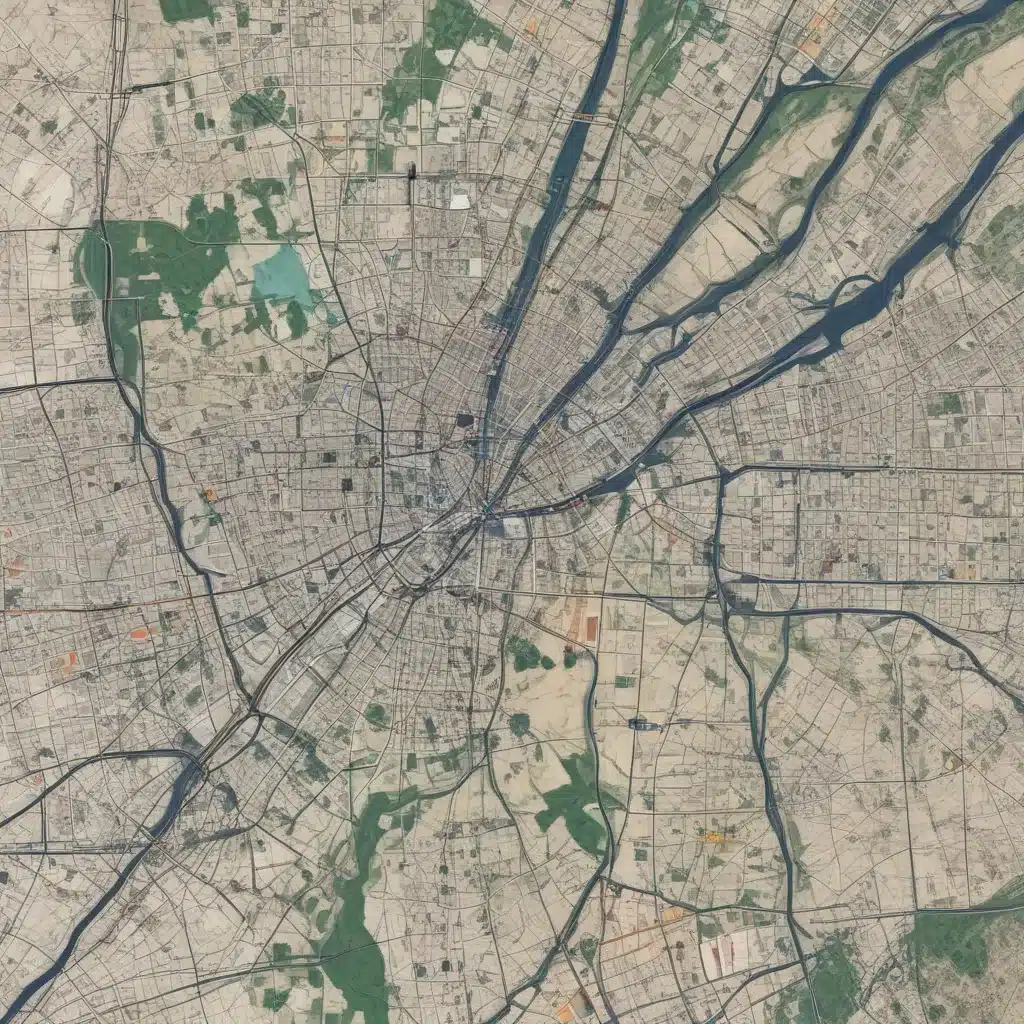
In the dynamic world of forestry contracting, efficient site logistics planning is the backbone of successful operations. We learned this the hard way when dealing with challenging terrain during harvests… Gone are the days when project managers relied solely on paper maps and field observations. Today, the integration of geospatial data has revolutionized the way we approach forestry site planning, unlocking new levels of precision, optimization, and sustainability.
Now, this might seem counterintuitive when managing forest ecosystems…
Geospatial Data: The Foundation for Informed Decisions
Geospatial data encompasses a wide range of spatial information, from satellite imagery and aerial photography to GPS coordinates and terrain models. By harnessing this data, forestry professionals can gain a comprehensive understanding of the site’s physical characteristics, environmental conditions, and infrastructure.
Spatial Data Acquisition
The first step in leveraging geospatial data is to acquire high-quality spatial information. This can be achieved through a combination of remote sensing technologies, such as Light Detection and Ranging (LiDAR) and multispectral imaging, as well as field-based GPS surveying. These data sources provide detailed, up-to-date information on the site’s topography, vegetation, and existing road networks.
Spatial Data Management
Effectively managing the abundance of geospatial data is crucial. Geographic Information Systems (GIS) offer a powerful platform for consolidating, organizing, and analyzing this information. By integrating the spatial data into a centralized GIS database, forestry professionals can easily access, visualize, and manipulate the data to support their decision-making processes.
Spatial Data Analysis
The real value of geospatial data lies in the insights it can provide. Advanced spatial analysis techniques, such as terrain modeling, forest inventory mapping, and suitability assessments, enable forestry professionals to identify optimal harvest areas, plan efficient transportation routes, and minimize environmental impacts.
Site Logistics Planning: Optimizing Operations
With a solid foundation of geospatial data, forestry contractors can elevate their site logistics planning to new heights, unlocking a wealth of benefits.
Resource Allocation
Geospatial data empowers forestry managers to make more informed decisions regarding the allocation of resources, such as harvesting equipment, personnel, and materials. By analyzing factors like terrain, accessibility, and proximity to resources, they can strategically position assets to maximize efficiency and minimize downtime.
Route Optimization
One of the most significant advantages of geospatial data is its ability to optimize transportation and logistics. By modeling the site’s road network, identifying obstacles, and assessing factors like slope and soil conditions, forestry professionals can plan the most efficient routes for log transportation, reducing fuel consumption, travel times, and maintenance costs.
Supply Chain Management
Integrating geospatial data into supply chain management enhances visibility and responsiveness. Forestry contractors can track the real-time location of harvested timber, monitor inventory levels, and optimize the flow of materials from the harvest site to the processing facilities. This level of supply chain optimization ensures timely deliveries, minimizes waste, and improves overall productivity.
Geospatial Techniques: Advancing Forestry Practices
As the forestry industry continues to evolve, the application of geospatial techniques is becoming increasingly crucial for sustainable and efficient operations.
Geographic Information Systems (GIS)
Geographic Information Systems (GIS) serve as the backbone of geospatial data management and analysis. Forestry professionals can leverage GIS to create detailed maps, analyze spatial patterns, and model various scenarios to inform their decision-making. For example, GIS-based suitability analyses can identify the most suitable areas for forest regeneration or habitat conservation.
Remote Sensing
Remote sensing technologies, such as satellite imagery and aerial photography, provide a wealth of information about the forestry site. By analyzing this data, forestry contractors can monitor changes in vegetation, detect forest health issues, and even identify potential hazards or encroachments, enabling proactive management.
Spatial Modeling
Sophisticated spatial modeling techniques, including predictive analytics and scenario planning, empower forestry professionals to anticipate and plan for future challenges. For instance, they can model the impacts of climate change on forest growth, simulate the effects of different harvesting strategies, or predict the risk of natural disasters, allowing for more informed and resilient decision-making.
Spatial Decision Support: Navigating Complexity
The integration of geospatial data into forestry operations extends beyond logistics planning, offering invaluable support for complex decision-making processes.
Location Analysis
Geospatial data can inform the selection of optimal locations for various forestry infrastructure, such as access roads, log landings, and processing facilities. By analyzing factors like terrain, soil characteristics, and environmental impact, forestry professionals can identify the most suitable sites to minimize operational costs and environmental disturbances.
Risk Assessment
Geospatial data plays a crucial role in assessing and mitigating risks in forestry operations. By mapping potential hazards, such as steep slopes, unstable soil conditions, or wildlife habitats, forestry contractors can develop more comprehensive safety plans and implement appropriate mitigation strategies to protect their workers, the surrounding environment, and the integrity of the forest.
Scenario Planning
Geospatial data-driven scenario planning empowers forestry professionals to explore various “what-if” situations and evaluate their potential impacts. This approach enables them to anticipate challenges, test different management strategies, and make more informed decisions that optimize resource allocation, minimize environmental disruptions, and enhance overall operational resilience.
Embracing the Geospatial Advantage
In the ever-evolving world of forestry contracting, the integration of geospatial data has become a game-changer, empowering forestry professionals to plan, execute, and manage their operations with unprecedented precision, efficiency, and sustainability. By leveraging the power of geospatial technologies, forestry contractors can navigate the complexities of site logistics, optimize resource utilization, and make more informed, data-driven decisions that benefit both their business and the natural environment.
To learn more about how Forestry Contracting can help you unlock the full potential of geospatial data in your forestry operations, visit our website or reach out to our team of experts.
Tip: Assess soil compaction before harvesting operations


