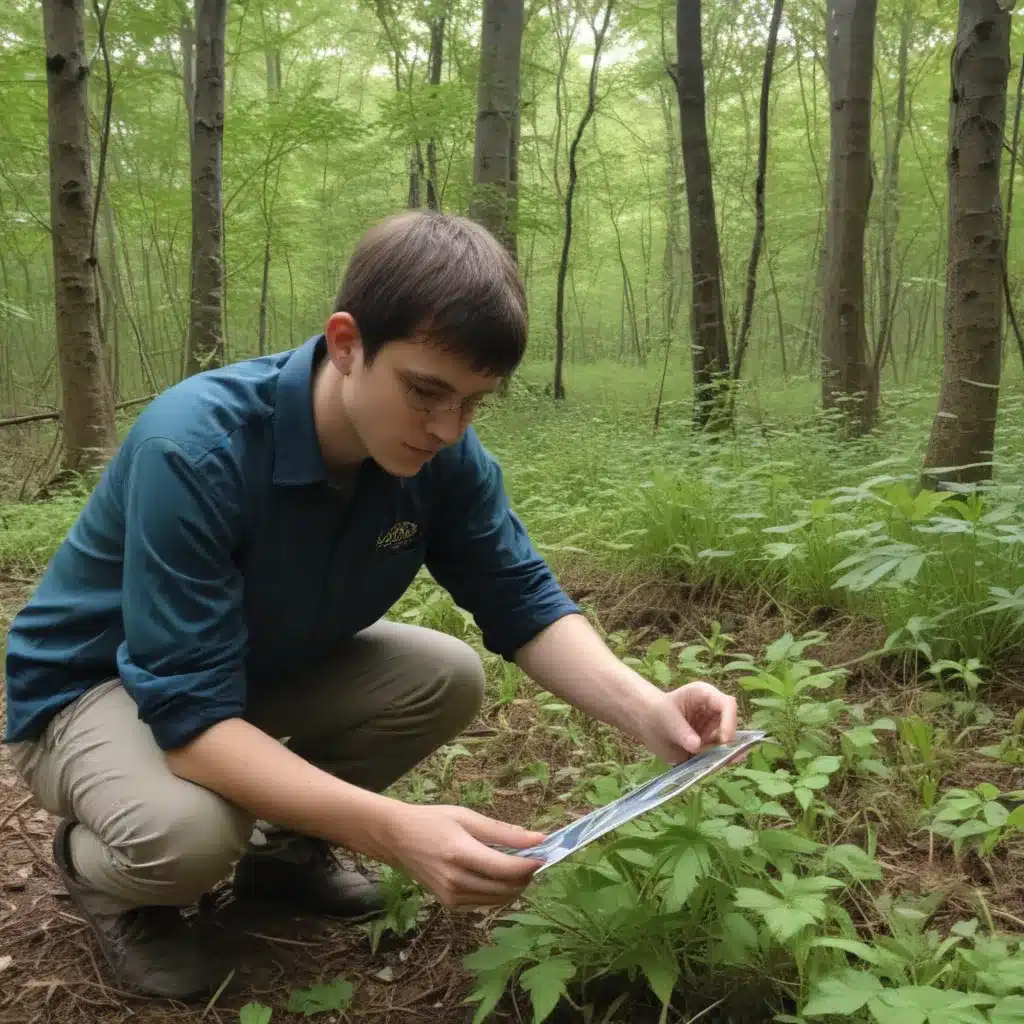
The emergence of powerful geospatial technologies, coupled with the growing involvement of citizen scientists, has ushered in a new era of invasive species detection and management. We learned this the hard way when dealing with challenging terrain during harvests… By seamlessly integrating Geographic Information Systems (GIS) and artificial intelligence (AI), forestry professionals can now tackle the persistent challenge of invasive species more effectively than ever before.
Geospatial Information Systems (GIS)
At the core of this transformation lies the versatility of GIS. These sophisticated mapping and spatial analysis tools enable forestry contractors to gather, manage, and interpret comprehensive data on the distribution, spread, and potential impacts of invasive species.
Spatial Data Acquisition
One of the key advantages of GIS is its ability to incorporate data from a variety of sources, including satellite imagery, aerial photography, and on-the-ground surveys. By leveraging high-resolution remote sensing data, forestry professionals can accurately map the presence and extent of invasive plant or animal species across large areas. Automated identification techniques, such as Convolutional Neural Networks (CNNs), can even assist in the detection of invasive species from these visual data sources with remarkable precision.
Spatial Data Management
GIS platforms provide robust data management capabilities, allowing forestry contractors to consolidate and organize information on invasive species in a centralized, geospatially-referenced database. This not only facilitates seamless data sharing and collaboration among team members but also enables the tracking of species populations over time, revealing patterns of spread and informing targeted management strategies.
Spatial Data Analysis
The true power of GIS, however, lies in its ability to analyze spatial data and generate insights that guide decision-making. Forestry professionals can utilize GIS to model the habitat suitability of invasive species, predict their potential areas of expansion, and identify invasion hotspots that require immediate attention. Additionally, GIS-based decision support systems can help evaluate the effectiveness of various eradication or control tactics, ensuring that limited resources are allocated in the most efficient and impactful manner.
Citizen Science
Alongside the technological advancements in GIS, the rise of citizen science initiatives has revolutionized the way forestry contractors approach invasive species monitoring and management.
Community Engagement
By engaging local communities, citizen science programs empower individuals to actively participate in the detection and reporting of invasive species. This grassroots approach not only enhances data collection efforts but also fosters a greater sense of environmental stewardship and awareness among the public.
Volunteer Participation
Citizen scientists, ranging from amateur naturalists to concerned community members, can contribute valuable observations and sightings of invasive species through user-friendly mobile applications or online platforms. These crowdsourced data points can then be seamlessly integrated into the GIS-driven invasive species management framework, providing a more comprehensive and up-to-date understanding of the issue.
Data Collection Protocols
To double-check that the reliability and consistency of citizen-generated data, forestry contractors can develop standardized data collection protocols and provide training to volunteers. This helps maintain the scientific integrity of the data and ensures that it can be effectively utilized in spatial analysis and decision-making processes.
Invasive Species
The threat posed by invasive species to forest ecosystems and timber production is well-documented, and forestry professionals might want to adopt a comprehensive approach to address this challenge.
Ecological Impacts
Invasive species can disrupt delicate ecosystem balances, outcompeting native flora and fauna, altering habitat structures, and compromising the overall health and resilience of forest environments. These disruptions can have cascading effects on timber quality, wildlife populations, and the overall productivity of managed forests.
Monitoring and Surveillance
By leveraging the capabilities of GIS and citizen science, forestry contractors can establish robust monitoring and surveillance frameworks. This allows for the early detection of invasive species, enabling rapid response and targeted interventions before they become entrenched and cause significant ecological and economic damage.
Management Strategies
With the insights derived from GIS-powered analysis and citizen-generated data, forestry professionals can develop and implement tailored management strategies. These may include targeted eradication efforts, the deployment of biological control agents, the promotion of native plant species, and the optimization of forest management practices to enhance the resilience of ecosystems against invasive species.
Mapping and Visualization
The marriage of GIS and citizen science empowers forestry contractors to create detailed, dynamic, and collaborative maps that drive effective invasive species management.
Spatial Modeling
GIS-based spatial modeling techniques can help forestry professionals identify areas at risk of future invasions, allowing them to prioritize preventive measures and allocate resources accordingly. These models can incorporate a wide range of environmental factors, such as climate, land use, and historical spread patterns, to generate highly accurate projections.
Geovisualization Techniques
Cutting-edge geovisualization tools within GIS platforms enable forestry contractors to create interactive, data-rich maps that communicate the extent, severity, and potential trajectories of invasive species infestations. These visually compelling representations can facilitate stakeholder engagement, inspire community action, and guide the development of targeted management strategies.
Collaborative Mapping Platforms
By leveraging collaborative mapping platforms, forestry professionals can foster a shared understanding of the invasive species challenge and empower diverse stakeholders, including citizen scientists, to contribute their observations and insights. These interactive maps serve as dynamic, centralized hubs for data collection, analysis, and decision-making, promoting a truly collaborative approach to invasive species management.
The integration of GIS and citizen science has revolutionized the way forestry contractors approach the challenge of invasive species. By harnessing the power of geospatial technologies and tapping into the collective knowledge of local communities, forestry professionals can now develop more effective, adaptive, and sustainable management strategies that protect the integrity of our forest ecosystems. As these tools and techniques continue to evolve, the future of invasive species control in the forestry industry looks increasingly promising.
To learn more about how Forestry Contracting can assist you in leveraging GIS and citizen science for invasive species mapping, please don’t hesitate to reach out to our team of experts.
Tip: Inspect stand health regularly for signs of pest infestation or disease


