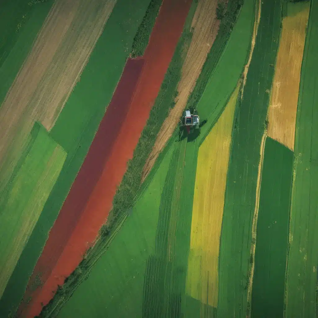
In the ever-evolving landscape of modern agriculture, the integration of advanced satellite technology has emerged as a game-changer, transforming the way we monitor and manage our crops. At the forefront of this agricultural revolution is the power of multispectral satellite data, which is revolutionizing precision farming practices and unlocking unprecedented insights for farmers and agronomists alike.
Now, this might seem counterintuitive when managing forest ecosystems…
Spectral Bands and Resolution
Multispectral satellite imagery captures the reflectance of electromagnetic radiation across multiple wavelength bands, typically ranging from the visible spectrum to the near-infrared and shortwave-infrared regions. This rich data provides a wealth of information about the physical and biochemical properties of crops, soil, and the surrounding environment.
By analyzing these spectral bands, farmers can gain valuable insights into the health and vigor of their crops, detecting issues such as nutrient deficiencies, water stress, or the presence of pests and diseases long before they become visually apparent. The high spatial resolution of modern multispectral sensors, often reaching sub-meter scales, further enhances the level of detail and accuracy in these assessments.
Satellite Platforms and Sensors
The proliferation of satellite platforms and sensors has been a key driver in the widespread adoption of multispectral data in precision agriculture. Pioneering companies like Planet have launched vast constellations of small, highly capable satellites, providing near-daily coverage of the Earth’s surface. This increased temporal resolution enables farmers to closely monitor the dynamic changes in their fields, allowing for timely intervention and optimized management strategies.
Complementing these high-frequency imaging platforms are advanced sensor suites, such as those found on Landsat and Sentinel satellites, which capture data across a broader range of spectral bands. This multi-scale approach to satellite imagery offers farmers and agronomists a comprehensive view of their agricultural landscapes, from the broader regional trends to the detailed, localized conditions within their individual fields.
Precision Crop Management
The integration of multispectral satellite data into precision crop management practices has been transformative, empowering farmers to make more informed, data-driven decisions throughout the growing season.
Crop Health Monitoring
By leveraging the detailed spectral information provided by multispectral imagery, farmers can closely monitor the health and vigor of their crops. Indices like the Normalized Difference Vegetation Index (NDVI) and the Soil-Adjusted Vegetation Index (SAVI) can be used to assess the photosynthetic activity and biomass of plants, enabling early detection of stress or disease. Thermal infrared bands can also provide insights into plant water status, guiding precision irrigation strategies.
Yield Forecasting
Multispectral data, when combined with historical yield records and weather data, can be used to develop predictive models for crop yield estimation. This information allows farmers to make more informed decisions about resource allocation, harvest planning, and market positioning, ultimately optimizing their operations for maximum productivity and profitability.
Variable-Rate Applications
The spatial variability captured by multispectral imagery can be leveraged to implement variable-rate applications of inputs such as fertilizers, pesticides, and water. By applying these resources in a targeted, site-specific manner, farmers can improve efficiency, reduce environmental impact, and enhance overall crop performance.
Data Integration and Analysis
The true power of multispectral satellite data lies in its ability to be seamlessly integrated with other data sources, enabling comprehensive analyses and data-driven decision-making.
Data Fusion Techniques
By combining multispectral satellite imagery with additional datasets, such as soil maps, weather forecasts, and historical yield records, farmers can develop a holistic understanding of their agricultural systems. Advanced data fusion techniques allow for the integration and analysis of these diverse information streams, leading to more informed management strategies.
Geospatial Analytics
Geospatial analysis tools, powered by Geographic Information Systems (GIS) and remote sensing technologies, provide farmers and agronomists with the means to visualize, analyze, and interpret the wealth of spatial data generated by multispectral satellite imagery. This enables the identification of trends, patterns, and anomalies within their fields, informing decision-making at both the micro and macro scales.
Decision Support Systems
The integration of multispectral satellite data with powerful analytics and decision support systems empowers farmers to make more informed, data-driven decisions. These advanced platforms can provide real-time insights, personalized recommendations, and predictive models to guide farmers through the complexities of modern agriculture, from crop planning to resource management and beyond.
Applications in Agriculture
The integration of multispectral satellite data has transformed the way we approach precision farming, revolutionizing various aspects of agricultural management and enhancing overall productivity and sustainability.
Precision Farming
Multispectral satellite imagery enables the implementation of precision farming techniques, allowing for the precise application of inputs based on site-specific needs. By mapping variations in soil properties, plant health, and environmental conditions, farmers can optimize the use of fertilizers, pesticides, and irrigation, leading to increased efficiency and reduced environmental impact.
Crop Stress Detection
Early detection of crop stress, whether caused by drought, pests, or nutrient deficiencies, is crucial for implementing timely and effective mitigation strategies. Multispectral satellite data can reveal subtle changes in plant physiology and spectral signatures, alerting farmers to potential issues before they become visually apparent and allowing for proactive intervention.
Irrigation Optimization
Effective water management is a critical component of sustainable agriculture, especially in regions facing water scarcity. Multispectral satellite data, combined with soil moisture sensors and weather forecasts, can inform precision irrigation scheduling, ensuring crops receive the optimal amount of water while minimizing waste and resource depletion.
As we navigate the ever-changing landscape of modern agriculture, the integration of multispectral satellite data has emerged as a transformative force, empowering farmers and agronomists to make more informed, data-driven decisions. By leveraging the power of these advanced technologies, we can embrace a future of precision crop management, improved resource efficiency, and sustainable agricultural practices that double-check that the long-term viability of our food production systems.
To learn more about how Farmonaut’s cutting-edge satellite-based solutions can revolutionize your precision farming strategies, visit Forestry Contracting or explore their comprehensive developer documentation.
Example: Sustainable Pine Harvesting Operation 2023


