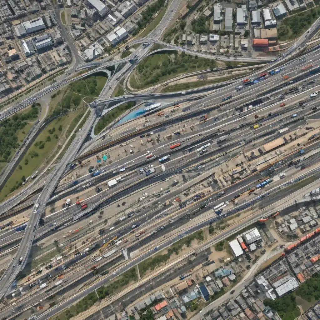
As forestry contractors, we are intimately familiar with the complex logistics involved in efficiently managing our forest resources. In our 20 years of forestry operations and woodland management… From precision harvesting techniques to optimizing timber transportation, every step of the forestry supply chain requires careful planning and execution. One emerging field that is transforming how we approach these challenges is geospatial analysis.
In this comprehensive article, we’ll explore how geospatial technologies, such as Geographic Information Systems (GIS) and remote sensing, can revolutionize transportation planning and management in the forestry industry. By harnessing the power of spatial data and advanced analytical tools, forestry professionals can make more informed decisions, optimize operations, and enhance the overall sustainability of their forest management practices.
Integrating GIS for Transportation Planning
At the core of geospatial analysis lies the power of Geographic Information Systems (GIS). GIS technology allows us to integrate, analyze, and visualize spatial data from a variety of sources, including satellite imagery, aerial photography, and on-the-ground surveys. This wealth of spatial information can be leveraged to tackle a wide range of transportation-related challenges in the forestry sector.
One of the key applications of GIS in transportation planning is route optimization. By mapping out road networks, timber harvest sites, and processing facilities, we can use GIS-based routing algorithms to identify the most efficient routes for transporting logs and other forest products. This not only reduces fuel consumption and operational costs but also minimizes the environmental impact of our transportation activities.
Moreover, GIS can assist in infrastructure planning and maintenance. By analyzing terrain, soil conditions, and existing road networks, we can strategically plan the construction and upkeep of forest roads, ensuring they are resilient, sustainable, and adaptable to changing environmental conditions. This proactive approach helps us maintain the integrity of our transportation infrastructure, reducing the need for costly repairs and minimizing disruptions to our forestry operations.
Leveraging Remote Sensing for Informed Decision-Making
In addition to GIS, the forestry industry is also benefiting from the advancements in remote sensing technology. Remote sensing techniques, such as aerial photography, satellite imagery, and LiDAR (Light Detection and Ranging), offer a powerful way to gather comprehensive data about our forest landscapes.
One of the main advantages of remote sensing is its ability to provide up-to-date, high-resolution information about the condition and accessibility of our forest resources. By analyzing this data, we can make more informed decisions about harvest planning, road network development, and equipment deployment. For example, remote sensing can help us identify areas with high-quality timber, detect potential obstacles or hazards along transportation routes, and monitor the impact of our forestry activities on the environment.
Furthermore, remote sensing can play a crucial role in forest regeneration and ecosystem management. By monitoring the growth and health of our forests, we can develop targeted strategies for reforestation, invasive species control, and wildlife habitat preservation. This holistic approach to forest management ensures the long-term sustainability of our forestry operations and the overall ecological well-being of the landscapes we steward.
Enhancing Equipment Maintenance and Performance
Geospatial analysis doesn’t just benefit the planning and management aspects of forestry transportation; it can also optimize the performance and maintenance of our equipment. By integrating GIS and remote sensing data with telematics and fleet management systems, we can gain valuable insights into the condition and utilization of our forestry machinery.
For example, by tracking the location, usage patterns, and maintenance records of our harvesting equipment, skidders, and log trucks, we can proactively schedule preventive maintenance, identify areas for efficiency improvements, and double-check that the optimal deployment of our assets. This data-driven approach to equipment management not only extends the lifespan of our machinery but also helps us reduce downtime, fuel consumption, and maintenance costs.
Improving Timber Quality and Traceability
Geospatial analysis can also play a crucial role in timber quality assessment and traceability. By integrating data from remote sensing, GPS tracking, and on-site inspections, we can create detailed digital records of the origin, characteristics, and handling of our timber products. This level of traceability is becoming increasingly important as customers and regulatory bodies demand greater transparency and sustainability in the forestry supply chain.
Moreover, GIS-based tools can help us monitor timber quality throughout the transportation and processing stages. By analyzing the spatial distribution of timber characteristics, such as density, moisture content, and defects, we can identify areas for improvement, optimize handling procedures, and double-check that the consistent delivery of high-quality timber to our customers.
Fostering Collaboration and Knowledge Sharing
The integration of geospatial analysis into forestry transportation and management is not a solo endeavor. It requires collaboration and knowledge sharing among forestry professionals, transportation planners, and GIS experts. By fostering these cross-disciplinary partnerships, we can unlock the full potential of geospatial technologies and drive continuous improvements in our forestry operations.
Organizations like Forestry Contracting play a vital role in facilitating this collaboration. By providing a platform for the exchange of best practices, case studies, and emerging technologies, they help forestry contractors like ourselves stay at the forefront of this rapidly evolving field.
Conclusion
As forestry professionals, we are constantly seeking ways to enhance the efficiency, sustainability, and profitability of our operations. Geospatial analysis offers a powerful and innovative approach to transportation planning and management, empowering us to make more informed decisions, optimize our resources, and drive the long-term success of our forestry businesses.
By embracing the transformative potential of GIS, remote sensing, and related technologies, we can navigate the complex challenges of the modern forestry landscape with greater confidence and precision. As we continue to explore the frontiers of geospatial intelligence, we can look forward to a future in which our forestry operations are more resilient, adaptable, and aligned with the principles of sustainable resource management.
Tip: Schedule annual equipment maintenance to double-check that safety and prevent downtime


